Service Areas in Victorville
Service-area labels help a facility manager describe where a property sits; they do not establish roof condition or confirm access. We coordinate each assessment with the site contact, approved entry, and operating schedule. Victorville connects by I-15 and U.S. 395, while city land-use materials identify commercial activity at Bear Valley Road and I-15. These references orient a first conversation without reducing a roof review to a map lookup.
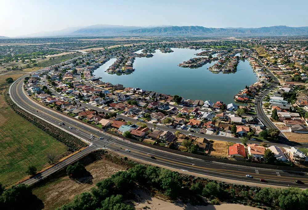
Victorville
Plan commercial roof repairs, replacement, drainage work, and occupied-building access in Victorville with a zone-based assessment and clear next steps.
Old Town Victorville
Coordinate roof assessments, repairs, and access for commercial properties in Old Town Victorville with zone-mapped findings and clear work sequencing.
Seventh Street Corridor
Coordinate roof repair and replacement near Victorville's Seventh Street corridor with mapped conditions, access planning, and a defined work sequence.
Palmdale Road and U.S. 395
Assess commercial roof leaks, drainage, and replacement work near Palmdale Road and U.S. 395 in Victorville with clear access and repair limits.
Northeast Victorville Development Area
Plan commercial roof inspections and industrial roofing work in northeast Victorville with verified site conditions, drainage review, and access sequencing.
Eastern Bear Valley Road Corridor
Assess commercial roofs along eastern Bear Valley Road in Victorville with drainage checks, mapped repairs, and an access plan tied to the property.
Bear Valley Road and I-15 District
Coordinate commercial roof repairs and planned work in Victorville's Bear Valley Road and I-15 district with property-specific inspection and staging.
Hesperia
Coordinate commercial roof inspections and repairs in Hesperia with roof-zone photos, drainage review, access planning, and a written next-step scope.
Use real districts as context:
The Victorville city page is the broad starting point. Old Town's plan maps a mix of commercial activity, homes, service uses, and open ground across the planning area. The Old Town overview supplies district context, not proof of a particular facility or ownership.
Along Seventh Street or the Palmdale Road and U.S. 395 corridor, access and vehicle movements may need discussion. The property contact confirms gate procedures, roof entry, and hours. A corridor name cannot establish who occupies or owns a building.
Coordinate industrial access:
City documents describe planned industrial development at Foxborough and elsewhere, including land east of U.S. 395 north of Mojave Drive. Planned approvals are not a count of operating roofs. For an active property, we ask who controls access, whether truck movements restrict staging, and which interior area could be affected by work.
The northeast development area and eastern Bear Valley Road corridor pages frame broader real areas. A commercial inspection still verifies the assembly, drainage, access, and reported condition.
Prepare the first visit:
Share the property address privately with the service coordinator, identify a facility contact, and note the affected operation. State whether water is active and whether access requires an escort or work window. A roof repair request can be reviewed with a condition report and the broader commercial roofing service overview.
Hesperia is a neighboring incorporated city south of Victorville, with its own retail, service, and transportation activity. The Hesperia service area is a municipal target, not a named tenant or property; the facility contact still identifies the exact building and roof access privately. We keep photos, conditions, and repair limits attached to that property.
Keep scope tied to the site:
Recommendations follow observed conditions and operating needs, not the district name. The scope can distinguish temporary protection, permanent repair, testing, and replacement planning. Owners can compare storm damage assessment with preventive maintenance only after inspection establishes the work relevant to that property.
Commercial Roofing Questions
Does the service-area page confirm coverage?
The page describes the city or corridor. The coordinator confirms the exact address, access conditions, and project requirements before scheduling.
Can a corridor name replace a site address?
No. Share the exact project address directly with the coordinator along with the facility contact and roof entry rules.
Do planned projects mean buildings operate there now?
No. City planning approvals describe proposed development, not completed inventory or a particular occupied property.
What information helps coordinate an assessment?
Give the location, affected zone, operating hours, access contact, and safety concern so the visit can account for actual conditions.