A wide roof can be difficult to understand from a ladder or a few ground photographs. A facility director may need a current view of seams, drains, rooftop equipment, or perimeter conditions before approving a closer inspection. Commercial Roofing Victorville uses drone imaging when the site, weather, airspace, and operating plan allow it. The flight documents visible conditions from above; it does not replace a hands-on assessment or prove what is beneath the membrane.
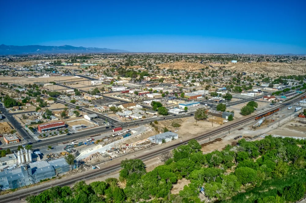
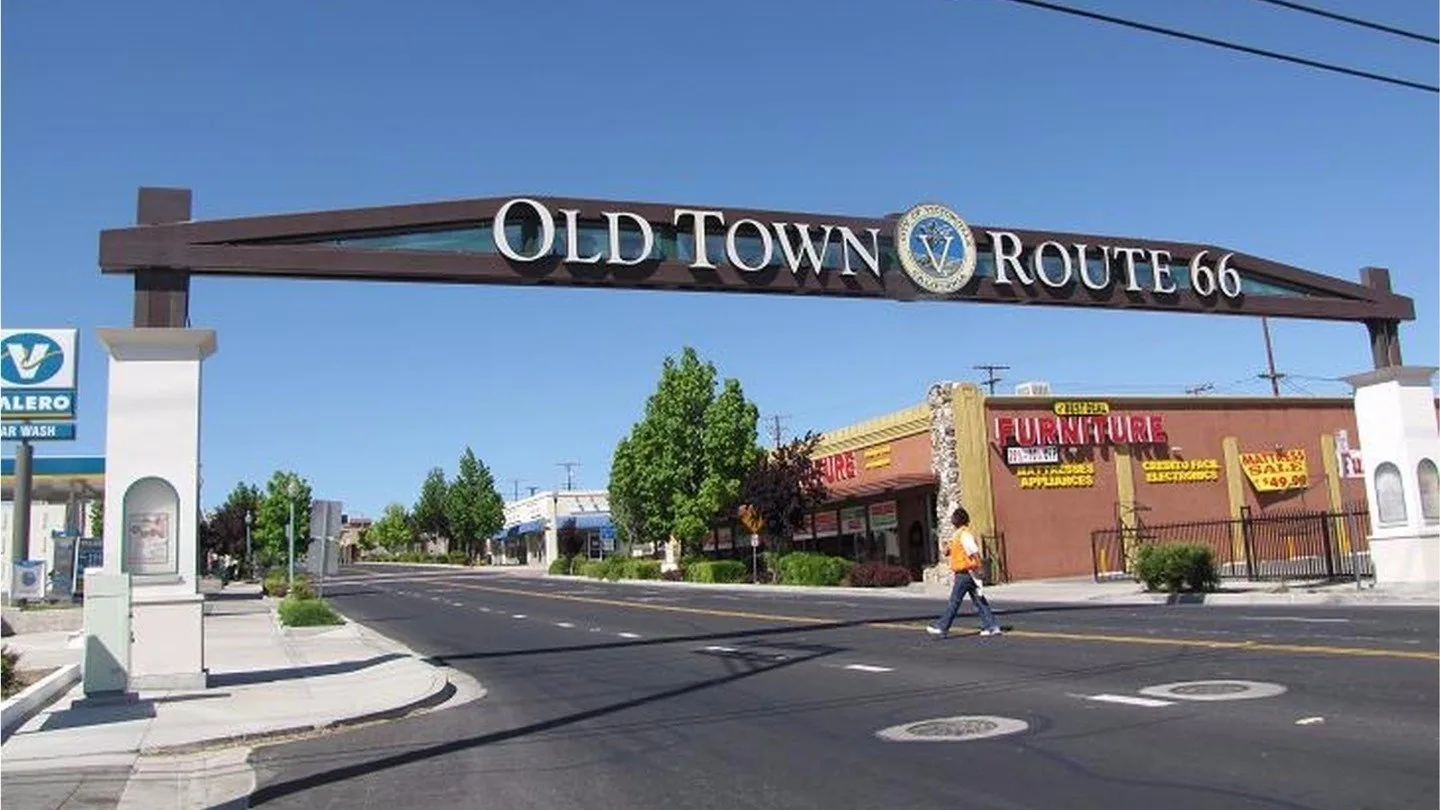
We start with the property contact, roof access restrictions, the area of concern, and activity below. In Victorville, large roofs near the industrial land east of U.S. 395 and north of Mojave Drive may include multiple zones and rooftop obstructions, while an Old Town building can have tighter access and nearby occupants. Each site gets its own flight plan. A commercial roof inspection can then connect selected images with tactile findings and a repair decision.
Choose a useful question first
Drone capture is most useful when a specific view will answer a facility question. The request may be to document a large field, locate visible debris at a drain, compare roof zones, photograph perimeter metal, or preserve a baseline after construction. We agree on the boundaries before launch and identify the views that matter to the owner. A general collection of aerial images is less useful than a labeled photo set tied to a roof plan or known condition.
Census QuickFacts reports Victorville transportation and warehousing receipts of $407,719 thousand in 2022. That citywide measure describes economic activity, not completed roof inventory or an individual building. We confirm the property type, access, and roof area from the facility contact before planning capture. A large roof and its flight boundary are confirmed at the site, not inferred from an industry statistic.
Coordinate the access window
Before a flight, we confirm who can authorize access, where the pilot may stage, what areas are restricted, and which building activities could affect the schedule. The facility contact identifies roof edges, mechanical areas, loading activity, and nearby people or vehicles. We check current operating conditions and applicable airspace and site requirements before deciding whether the flight can proceed. If those conditions are not suitable, we discuss ground photography or another inspection method.
Flight boundaries are set to the property and requested task. We avoid recording unrelated areas when a tighter view will answer the question. A site around the Victorville commercial area may have adjacent businesses, roads, or active work zones; location alone does not authorize a broad capture. Near the Seventh Street corridor in Old Town Victorville, the access plan should account for the building's actual surroundings. We coordinate with the facility contact before moving into a restricted or occupied area.
Build a labeled photo set
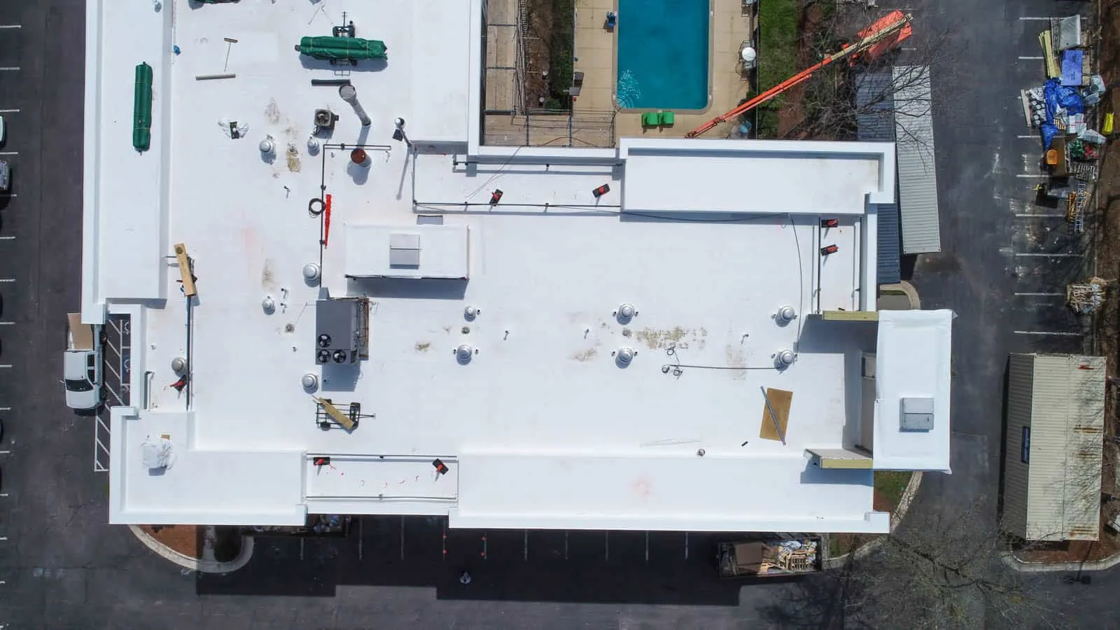
We capture overview images first, then closer views of requested zones when the flight conditions permit. Roof edges, drains, equipment curbs, skylights, and visible surface changes are photographed with enough context to orient a reviewer. The image set is organized by zone or compass direction, not left as a camera roll. If a roof plan is available, we can align labels with its grid or the facility's naming convention. Any areas hidden by equipment or shadow are identified as limits.
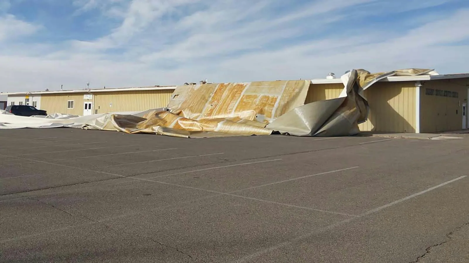
Victorville's code page references climate zone 14 and a five-pound ground snow load. Those plan-review inputs do not show how an existing assembly is attached or whether a storm changed it. Images can document visible displacement or loose material for a closer review, but they cannot determine attachment strength or date a movement without field context. Where an image suggests a possible opening, a wind-related repair review can follow the initial documentation with a hands-on assessment.
Keep image limits clear
An aerial image can show a visible seam, surface patch, open drain area, displaced object, or condition at a roof edge. It cannot confirm a buried leak path, membrane adhesion, wet insulation, deck condition, or the attachment of a concealed assembly. Lens angle and distance can also make scale uncertain. We label observations carefully, describe what is visible, and note when a closer inspection is needed. The distinction matters when a photograph is later used for budgeting or an insurance discussion.
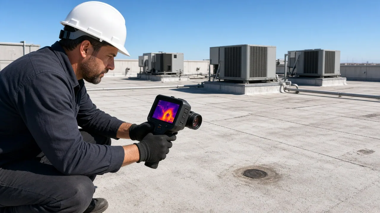
For suspected moisture, we compare the report from below with images and then select a field test only when it is justified. A commercial infrared moisture survey may identify patterns for verification, while a roof condition report can keep observations and limits in one place. Neither an aerial photograph nor an infrared pattern alone establishes the full roof condition. We identify the next step and who needs to approve it.
Keep the building in control
The facility contact remains the point person for site access and operations. We agree on staging, any escort requirement, restricted areas, and how the team will pause if people or equipment enter the planned work area. If the roof is part of an occupied site, the flight is coordinated around loading, shift changes, or other activity identified by the property team. We do not ask staff to move equipment or enter an unsafe area to improve a photograph.
Large logistics roofs and smaller retail properties require different boundaries, even when both are close to Interstate 15. Victorville is also served by U.S. 395 and State Route 18, but road access does not establish flight authorization or site access. The logistics and 3PL roofing review can help a multi-site operator organize condition records across facilities. A separate commercial roof repair assessment is needed before a crew scopes work from an image alone.
Turn imagery into a field decision
The deliverable is a dated, labeled photo set with the requested zones, visible observations, and areas that could not be confirmed. We review it with the facility contact, compare it with the original concern, and identify whether a hands-on inspection, repair estimate, or monitoring visit is appropriate. If a condition is not visible from the air, we say that plainly. A useful record preserves what the image can support without turning it into a diagnosis.
For roofs being considered for capital work, images may help document scope boundaries and coordinate later access. They do not substitute for an assembly review or a written replacement scope. Compare the findings with commercial roof replacement planning only when field evidence supports that discussion. Managers can also track images through a multi-site roof program when multiple roofs need consistent records. Call with the property location, the question to document, and the facility contact for access.
Commercial Roofing Questions
Can a drone inspection replace a roof walk?
No. Drone images document visible surfaces and hard-to-access areas, but they do not test membrane attachment, concealed moisture, deck condition, or flashing by touch. We recommend a hands-on review when those questions affect the decision.
What should the facility contact provide?
Share the property boundary, roof plan if available, target zones, access restrictions, and the operating activity below. Identify who can authorize staging and pause the flight if the site becomes unsafe.
Can drone images identify a roof leak?
They may document visible conditions near a reported leak, but water can travel beneath the surface before appearing indoors. We compare the images with the interior report and use field testing when needed.
When can a drone flight be delayed?
Weather, wind, airspace, site rules, or nearby activity may make a planned flight unsuitable. We check those conditions and discuss a different access window or ground-based documentation when required.
How do we schedule a commercial drone roof review?
Call with the Victorville property location, the roof zones to document, and the person coordinating access. We will discuss whether aerial imaging fits the question and what field follow-up may be necessary.